
11 1/2 miles
Weather - Dry, overcast, warm and rainy at the end of the day
Our last day for this section of the walk. We were driven back to Kirkland after breakfast and we were walking by 10:00am. We did not follow the exact path out of Kirkland but it was close enough. Just as we passed a house at Wythwaite we met two gentlemen. They asked us where we were heading and were very interested to hear we were walking the Pennine Journey as they had just been talking about it. (There is a PJ waymarker just here).The two gents were locals and one lived at Wythwaite House. They were full of advice about the next few miles.
We were keen to see the Hanging Gardens of Mark Anthony which are marked on the map. Well, we saw them but they are not very hanging or wall like - more like a bit of a ditch...
In the next field we encountered our arch enemies - bulls, cows and calves - a large herd spread all over the field. We ventured across and just as we got past them all they all started moving. We walked calmly but purposefully to the stile and made a sharp exit over it. We now had to cross Crowdundle Beck where two bridges have been washed away in recent years. We did not know if a third bridge had been erected yet - the two gentlemen of Wythwaite assured us it had and it was there. It is known locally as the Duke of Edinburgh's bridge as it was erected after a very irate group of Duke of Edinburgh teenagers objected very strongly to the lack of a bridge when they had to cross the beck and they had to do a detour of a mile or so. A few weeks later the new bridge miraculously appeared.
The next stage took us across fields, stiles, through gates, along farm tracks and paths to the village of Milburn. Milburn is an example of a fortified medieval village and it has a giant maypole on the very large village green. It's a beautiful and interesting place. We sat on a bench by the green and had a snack whilst four farm lads and a sheepdog trundled past on a quad bike - I did not know you could get so many on one! We departed Milburn over Stank Beck and headed for Knock where we had lunch sat on another conveniently placed bench. A very quiet place but we chatted to a resident who had just returned from a trip to Appleby. He had a lovely, well-behaved dog. We then got a bit lost in Milburn Grange as I missed a stile and sent us off floundering over a very boggy field full of cows for twenty minutes. Mrs C saved the day when we retraced our steps and found the stile.
Dufton was the next village. Another trip down memory lane for Mrs C as Dufton is on the Pennine Way and has a youth hostel, a pub and now, a tea room. Another lovely village with a green, a fountain, chickens scratching around and red sandstone cottages.. Only three miles to Appley now. We continued through fields, by streams, through some beautiful woodlands. The Pennine fells were with us, just to the left and it was splendid to be amongst it all. Through out this walk we had been promised red squirrels but again we did not see any. We did see lots of pheasants today - they scattered in all directions as we plodded through the woods. A dip under the busy A66 and then we were in Appleby.
We felt a celebration was called for so we adjourned to the Midland Hotel next to Appleby Station to enjoy a G&T outside. I popped in to the loo and when I came back Mrs C had acquired a dog on a lead. Probably the funniest moment of the walk. I looked at the dog and then at Mrs C. She looked back at me as did the dog. Once I'd stopped laughing I asked why and how? It seems a gentleman arrived and asked if Mrs C liked dogs. Mrs C said "No" then the gent gave Mrs C the lead and said, "I won't be long, just going to buy a pint. He's no bother, he's seventeen and blind as a bat."
We headed into town to change and shower for the evening. It was Bank Holiday weekend so everywhere was very busy. We decide to head back to the Midland Hotel and have dinner there....no dogs this time.
It has been a most excellent week. I am looking forward to the last stage next year - Appleby to Settle.
The highlights...
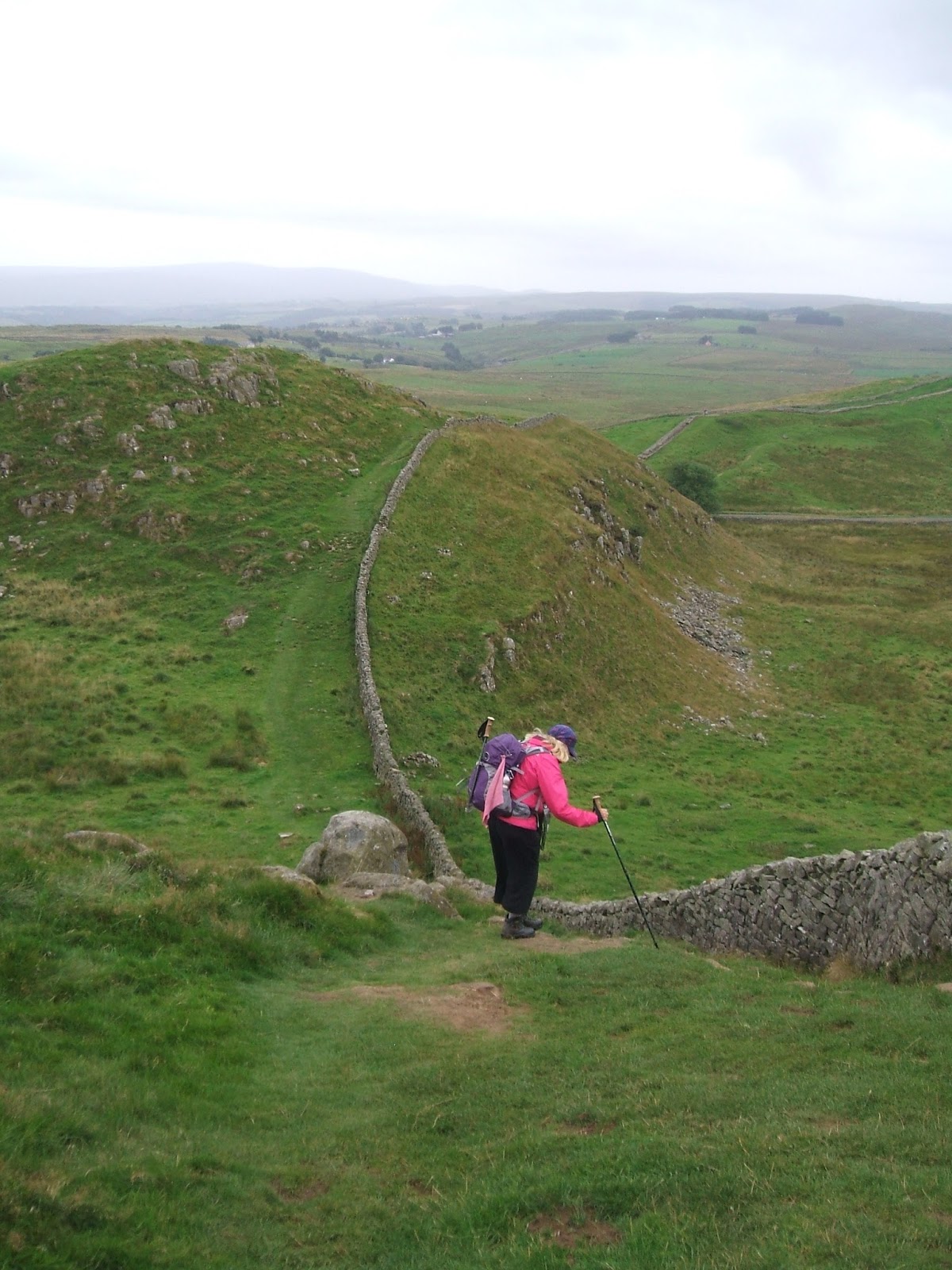
- Hadrian's Wall - 2nd day Once Brewed to Greenhead
- The Italians
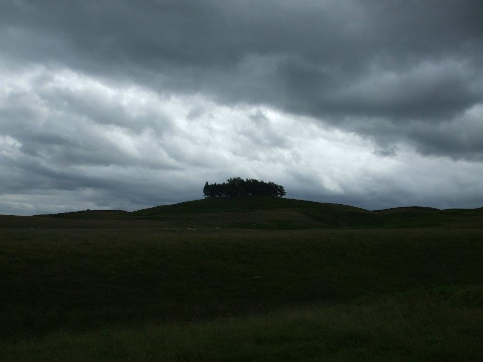
- Sycamore Gap
- Bleckinsop Castle
- East House - walled gardens
- Bats flying round me outside Kellah B&B
- Lambley Viaduct
- Climbing Cross Fell
- The view from Cross Fell
- Seeing an Adder
- The curious incident of the dog at the pub


